
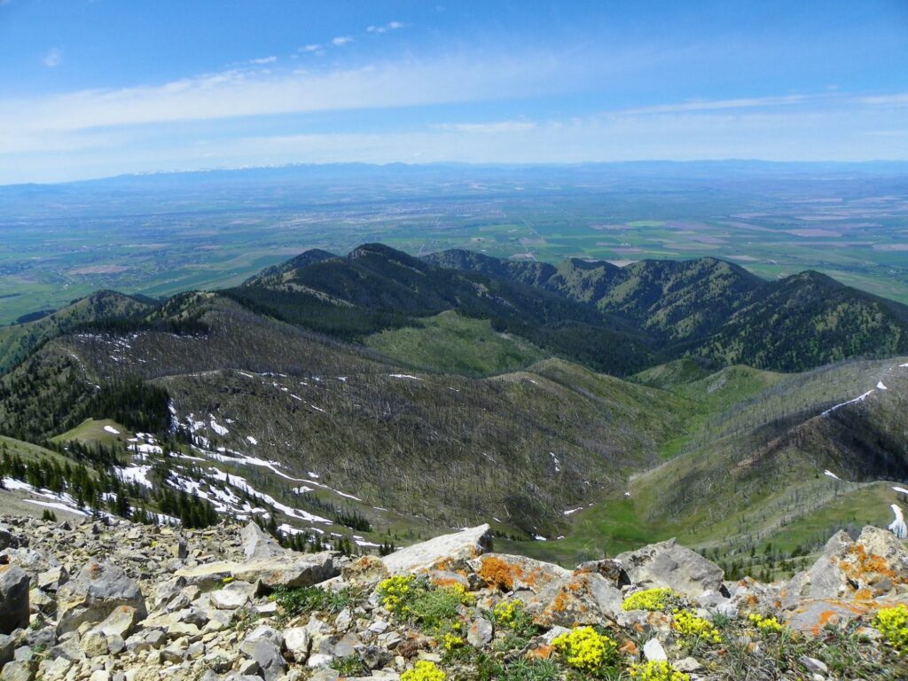
Bozeman sits inside a ring of mountain ranges: the Bridgers to the north, the Gallatins to the south, and the Tobacco Roots and Absarokas further out. That means real trailheads start within a fifteen-minute drive of downtown. This guide organizes the best hikes near Bozeman by difficulty, so you can match a trail to how much time and energy you actually have. Stick to these and you’ll rule out hikes that are further out of the way.
Quick Answer: Best Hikes by Type
- Best iconic hike: The M Trail
- Best short walk with kids: Palisade Falls
- Best full-day hike: Hyalite Lake via Hyalite Creek Trail
- Best dog-friendly loop: Drinking Horse Mountain
- Best in-town option, no driving: Peets Hill / Burke Park
- Best view for the effort: Storm Castle Rock
The M Trail: Bozeman’s Signature Hike
If you only do one hike in Bozeman, this is it. Built by Montana State University students in 1915, the white “M” carved into the hillside at the mouth of Bridger Canyon is visible from most of town, and the trail up to it is the closest thing Bozeman has to a rite of passage.
From the trailhead, two routes lead to the same overlook: a steep, direct climb with switchbacks, or a longer, more gradual path. Most first-timers go up the steep side and down the gradual one, which keeps the knees happier on the way down. The full loop runs about 3.5 miles with roughly 770 feet of elevation gain, and the payoff is a genuine 360-degree view of the Gallatin Valley. It’s popular enough that a summer weekend morning means sharing the trail with plenty of other hikers and their dogs. Go before 8 a.m. if you want it quiet.
Distance: 3.5 miles loop | Elevation gain: 770 ft | Difficulty: Moderate | From downtown: 5 minutes
Easy and In-Town Hikes
Not every Bozeman hike requires a drive. The Main Street to the Mountains trail system threads directly through town, and a few of these are genuinely good hikes in their own right, not just consolation prizes for a short trip.
Peets Hill / Burke Park
This is the easiest real hike in Bozeman, and locals treat it like a backyard. A short climb up grassy, open hillside puts you above town with views back toward the Bridgers, and it connects directly into the Gallagator Trail if you want to extend the walk through the historic neighborhoods on the way back. No car needed if you’re staying downtown.
Distance: Roughly 1-2 miles depending on your route | Elevation gain: Minimal | Difficulty: Easy | From downtown: Walkable
Drinking Horse Mountain
Across the road from the M Trail sits Drinking Horse, a figure-eight loop that’s one of the best-designed trails in the valley. A covered bridge over Bridger Creek marks the start. From there the trail splits into a steeper switchback route and a longer, gentler one, so take whichever fits your mood, or go up one and down the other. Eight memorial benches line the way if you need an excuse to catch your breath, and the summit view stretches into Bridger Canyon on one side and back across the Gallatin Valley on the other.
This is the trail we’d point dog owners to first. It’s off-leash friendly in sections, there’s a creek for thirsty dogs at the base, and the Gallatin Valley Land Trust, which built and maintains it, put actual dog waste stations at the trailhead.
Distance: 2.2 miles loop | Elevation gain: 700 ft | Difficulty: Easy to moderate | From downtown: 10 minutes
Hyalite Canyon: Bozeman’s Waterfall Wonderland
Twenty miles south of downtown, Hyalite Canyon does more work for Bozeman’s hiking reputation than anywhere else in the area. It packs alpine lakes, more than a dozen named waterfalls, and trailheads ranging from a paved wheelchair-accessible path to a full-day alpine slog into one drainage. If you only have time to explore one area beyond the in-town trails, make it this one.
One thing to know before you go: Hyalite Canyon Road closes annually from April 1 through May 15 for spring runoff. None of these trails are reachable by car during that window, so if you’re planning a spring trip, check current road status before you drive out.
Palisade Falls
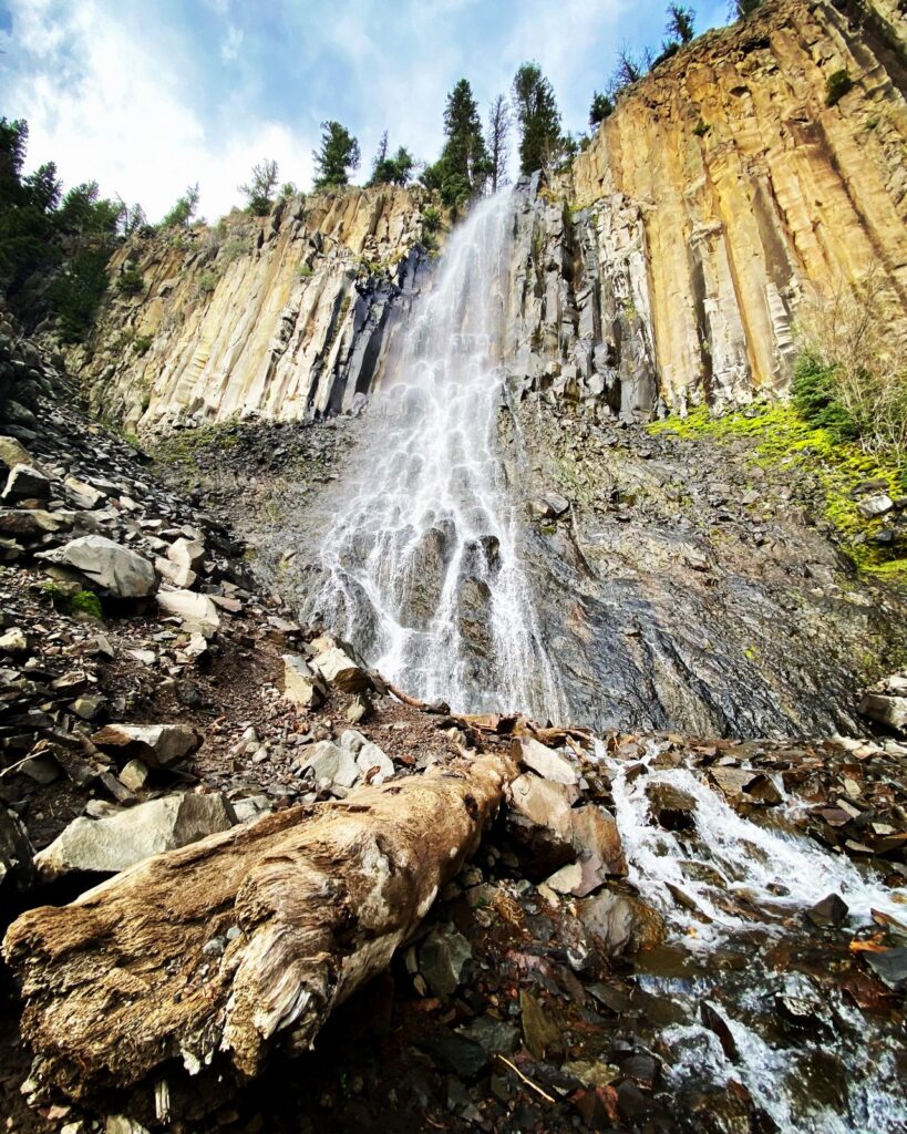
The most-visited trail in the canyon, and for good reason. A fully paved, wheelchair and stroller-accessible path leads about a mile through shaded forest to an 80-foot waterfall dropping off a volcanic basalt wall. Short enough for young kids and dramatic enough to be worth it at any age. Just don’t expect solitude, since it’s one of the most popular short hikes in the entire Bozeman area.
Distance: 1.1 miles round trip | Elevation gain: Minimal | Difficulty: Easy | From downtown: 40-45 minutes
Grotto Falls
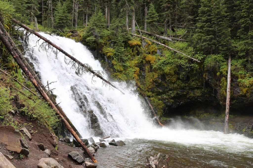
A quieter alternative to Palisade, just up the road. The wheelchair-accessible dirt path follows Hyalite Creek to a waterfall that drops into a pool at its base. It’s a good option if Palisade’s crowds sound unappealing but you still want an easy, short walk.
Distance: 2.5 miles round trip | Elevation gain: 278 ft | Difficulty: Easy | From downtown: 40-45 minutes
Hyalite Lake via Hyalite Creek Trail
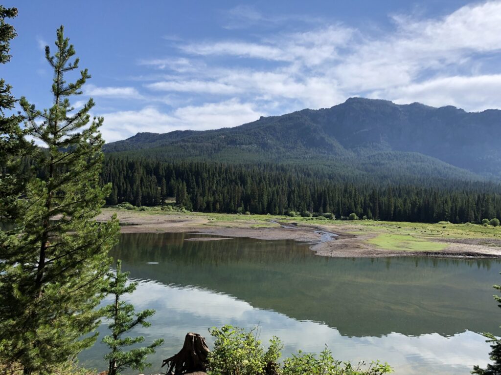
This is the canyon’s crown jewel and the best full-day hike near Bozeman. The trail follows Hyalite Creek past roughly ten named waterfalls on its way up to a high alpine lake ringed by rocky peaks, gaining close to 1,900 feet along the way. It’s a serious undertaking (most hikers budget four to six hours), but it’s the kind of trail people plan return trips around.
Distance: 11 miles round trip | Elevation gain: 1,900 ft | Difficulty: Moderate to challenging | From downtown: 45 minutes to trailhead
Westshore and Crescent Lake Loop
The relaxed option in the canyon. This loop skirts the western edge of Hyalite Reservoir through shaded forest before opening up to shoreline views of the surrounding peaks. Flat, dog-friendly, and doable in about an hour. It’s a good pick if the rest of your group wants waterfalls and you want a walk.
Distance: 3.3 miles loop | Elevation gain: Minimal | Difficulty: Easy | From downtown: 40-45 minutes
Moderate Hikes Beyond Town
Bear Canyon to Bear Lakes
Seventeen miles from downtown, this out-and-back trail follows a stream-fed canyon south of town before climbing to a pair of alpine lakes. It’s less crowded than the M Trail or Hyalite despite being close to town, and it connects into the Chestnut Mountain Trail if you want to extend the day. A good pick if you want a genuine outdoor day without the crowds of the more famous trailheads.
Distance: Up to 8.1 miles round trip | Elevation gain: Moderate | Difficulty: Moderate | From downtown: 25-30 minutes
Challenging Full-Day Hikes
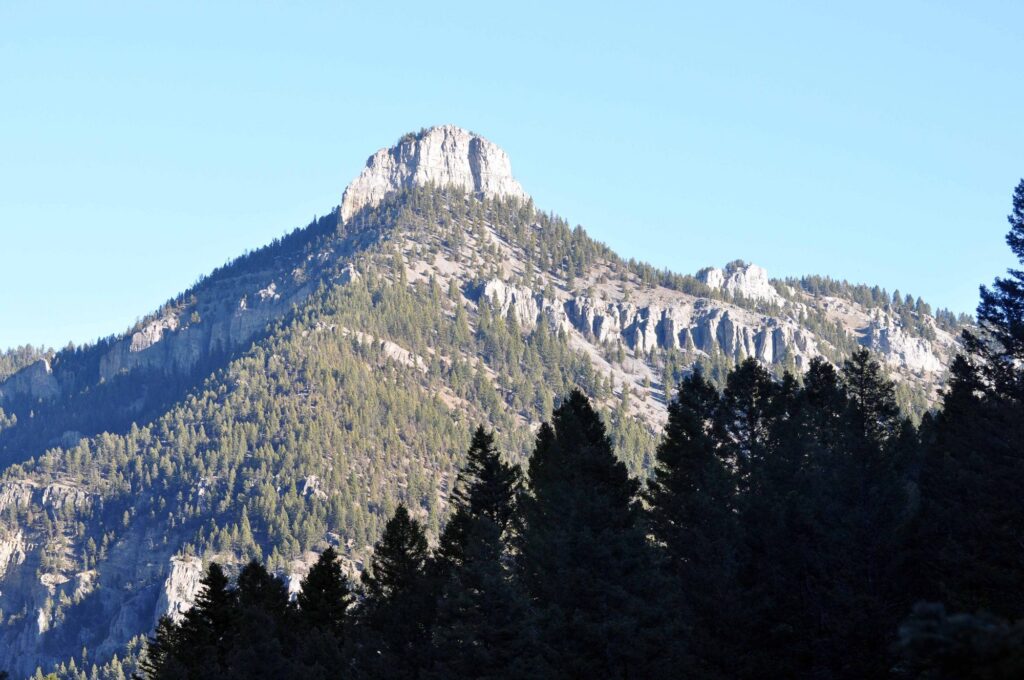
Storm Castle Rock
If you want the best view-to-effort ratio near Bozeman, this is it. Located in Gallatin Canyon en route to Big Sky, the trail is steep and relentless but short, climbing directly to a rock formation with sweeping views over the canyon. It’s the kind of hike you can knock out in an afternoon and still have most of the day left, making it a natural add-on to a day trip toward Big Sky or Yellowstone.
Distance: Roughly 4 miles round trip | Elevation gain: Steep | Difficulty: Challenging | From downtown: 30-35 minutes
Mount Blackmore
The trailhead sits inside Hyalite Canyon, but this is a different kind of hike than the waterfall trails nearby: a genuine mountain summit push with a lake along the way. Save this one for mid-to-late summer once the higher snow has cleared, and budget most of a day.
Distance: Roughly 9-10 miles round trip | Elevation gain: Significant | Difficulty: Challenging | From downtown: 45 minutes to trailhead
Best Hikes by Season
- Spring (after May 15): Peets Hill and Drinking Horse, since lower-elevation trails clear first. Hyalite Canyon Road doesn’t reopen until mid-May, so higher trails stay off-limits until then.
- Summer: Everything is open. Mount Blackmore and Hyalite Lake are best done mid-to-late summer once high snow has melted out.
- Fall: Arguably the best hiking season in Bozeman. The summer tourist crowds thin out, and the larch and aspen color is worth planning around. See our guide to when to visit Bozeman for the exact fall-color window.
- Winter: The M Trail and Drinking Horse both stay hikeable with the right traction gear. Hyalite Canyon shifts into one of the premier ice-climbing destinations in the country, so expect a different crowd entirely.
Hiking with Dogs and Kids
For dogs, Drinking Horse Mountain and the Westshore/Crescent Lake Loop are the easiest picks. Both are off-leash friendly in sections with water access along the way. For kids, Palisade Falls is the obvious choice: paved, short, and stroller-accessible, with a genuinely impressive waterfall at the end to justify the walk. Peets Hill works well for younger kids who aren’t ready for a real trail yet, since it’s essentially a big grassy hill within walking distance of downtown.
Practical Tips: Parking, Permits, and Bear Safety
Most Bozeman-area trailheads don’t require a permit or fee, though Hyalite Canyon sits within the Custer Gallatin National Forest, so check current fee and parking rules before you go, especially during peak summer weekends when the main lots fill early.
Grizzly and black bears live in the hills around Bozeman, including areas as close to town as the Bridger Range. Carry bear spray and know how to use it, make noise on trails with limited visibility, and never approach wildlife. This applies even on the busier trails close to town. Bears don’t check trail popularity before showing up.
FAQs: Hiking Near Bozeman
What is the most popular hike in Bozeman?
The M Trail. It’s the most recognizable, closest to downtown, and the one almost every visitor does at least once.
What’s the best hike for a full day near Bozeman?
Hyalite Lake via the Hyalite Creek Trail. It’s 11 miles round trip past roughly ten waterfalls, ending at a high alpine lake.
Is Hyalite Canyon Road open year-round?
No. It closes annually from April 1 through May 15 for spring runoff, and none of the canyon’s trailheads are reachable by car during that window.
Are there hikes in Bozeman you can do without a car?
Yes. Peets Hill / Burke Park is walkable from most downtown lodging and connects into the Gallagator Trail system.
For the rest of your trip beyond the trails, start with our complete Bozeman travel guide, or check our neighborhood lodging guide to pick a base close to the trailheads that matter most to you.



.jpg)
.jpg)
.jpg)
