Going-to-the-Sun Road is the reason most people drive to Glacier. I have driven this road more times than I can count and it never gets old. Heck, I’ve even ridden my mountain bike on this road which is an incredible experience. It runs 50 miles across the park from West Glacier to St. Mary, climbs to the Continental Divide at Logan Pass (6,646 feet), and spends a good part of the way carved into the side of a cliff. The Park Service says to allow two hours without stops. Nobody drives it without stopping, so plan on a full day.
The rules changed for 2026. Vehicle reservations are gone, but parking at Logan Pass now has a time limit and the shuttle works differently. This guide covers when the road is open, what it costs, how to handle parking, which stops are worth your time in the order you’ll reach them, and how to drive it without spending half the day in traffic.
When Is Going-to-the-Sun Road Open?
The lower stretches near Lake McDonald and St. Mary Lake open earlier and stay open later, but the alpine section over Logan Pass is the part that matters. Plows usually have it open by late June or early July. In 2026 the full road opened on June 22. It typically closes for the season around the third Monday in October (October 19 this year), and an early snowstorm can close it sooner. The park’s road status page has the current conditions.
If you have flexible dates, aim for July through mid-September, when the road, the visitor center at Logan Pass, and the shuttle are all running. Early in the season, the Highline Trail and other high trails can stay closed for snow even after the road opens.
Early and Late Season on the Road
Before the full road opens and after it closes in fall, you can still drive the lower sections from each end, along Lake McDonald on the west side and St. Mary Lake on the east side. When plows and road crews aren’t working, the closed stretch is open to hikers and cyclists, which makes spring a quiet time to ride part of the road with no cars. Check the park’s current closure points and crew schedule before you go, since they move as the plowing progresses.
A Little History
Going-to-the-Sun Road took more than a decade to build and opened across Logan Pass in 1933. Its builders kept it narrow and ran it along the natural contours of the mountains instead of blasting a wide highway, which is why it still feels like part of the landscape. It’s also why big vehicles aren’t allowed on the steepest section and why the road takes snow crews weeks to clear each spring. Our six-minute video tour of Glacier includes Park Service film of the road from the 1950s; the Going-to-the-Sun Road chapter starts at 1:09.
What It Costs and Whether You Need a Reservation
- Reservations: none needed to drive the road in 2026.
- Park entrance: $35 per private vehicle, good for seven days, or $70 for a Glacier annual pass. An America the Beautiful pass also works.
- Visitors from outside the U.S.: an extra $100 per person, age 16 and up, unless you carry an annual or America the Beautiful pass.
- Logan Pass shuttle: $1 per ticket, booked on Recreation.gov.
Current fees are on the NPS fees page, and the full story on this year’s changes is in our guide to Glacier’s 2026 entry rules.
Vehicle Size Limits
Between Avalanche Creek on the west side and Rising Sun on the east side, vehicles and combinations longer than 21 feet or wider than 8 feet (mirrors included) aren’t allowed. Vehicles taller than 10 feet can have trouble with the rock overhangs between Logan Pass and The Loop on the west side. That rules out most RVs and anyone towing a trailer. If you’re in one, park it at Apgar or St. Mary and take the shuttle or a tour across.
Parking at Logan Pass and the 2026 Shuttle
Logan Pass is the crowded part of the road. From July 1 through September 7, 2026, parking there is limited to three hours. That’s enough time for the visitor center and the walk to Hidden Lake Overlook, but not for the Highline Trail.
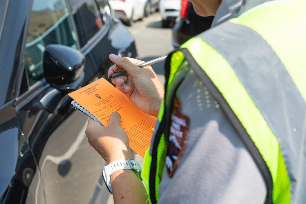
For anything longer, use the express shuttle. It runs to Logan Pass from the Apgar area and Lake McDonald Lodge on the west side and from the St. Mary Visitor Center and Rising Sun on the east side, with transfers at the pass and an added afternoon stop at The Loop. Tickets cost $1 per person, age 2 and up, on Recreation.gov. About two-thirds release 60 days ahead at 8 a.m. Mountain time, and the rest release at 7 p.m. Mountain time the night before. One catch for 2026: the shuttle doesn’t stop at Avalanche Creek or Trail of the Cedars, so drive yourself to those.
Traffic peaks from about 10 a.m. to 2 p.m., and popular lots still fill by 7 or 8 a.m. When an area fills, rangers can close it temporarily and turn cars away until space opens up. If you can, be at Logan Pass before 8 a.m., or come late in the afternoon when the day crowd is leaving.
The Best Stops, West to East
Here are the stops in the order you’ll reach them heading east from West Glacier. Driving the other way, read the list from the bottom up.
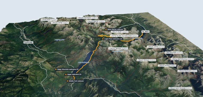
To see the whole route first, turn it in 3D below or press Fly the Sun Road to follow it from West Glacier over Logan Pass to St. Mary. The road’s elevation profile, mile by mile, is on our Glacier National Park map page.
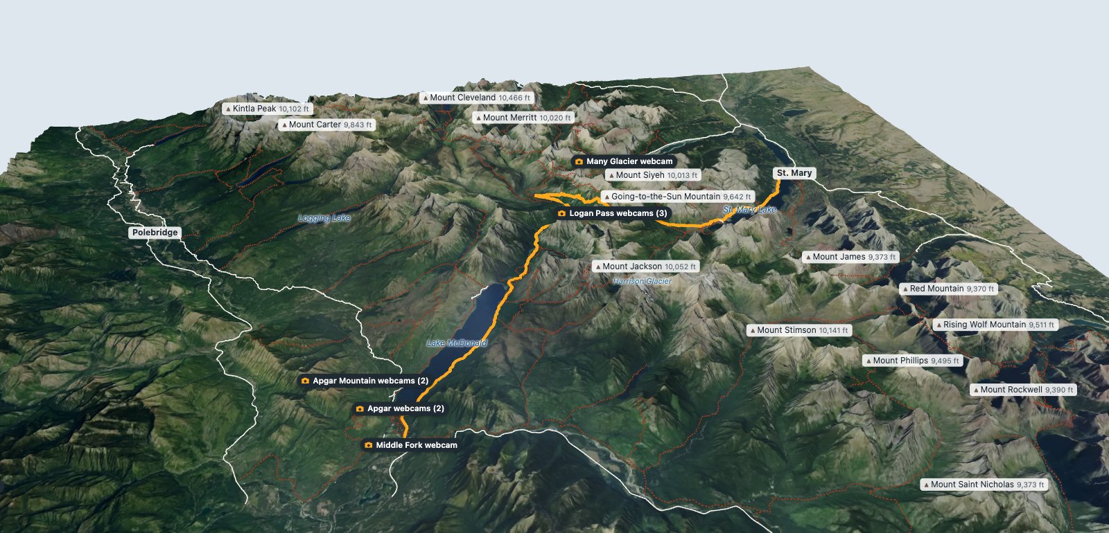
Apgar and Lake McDonald
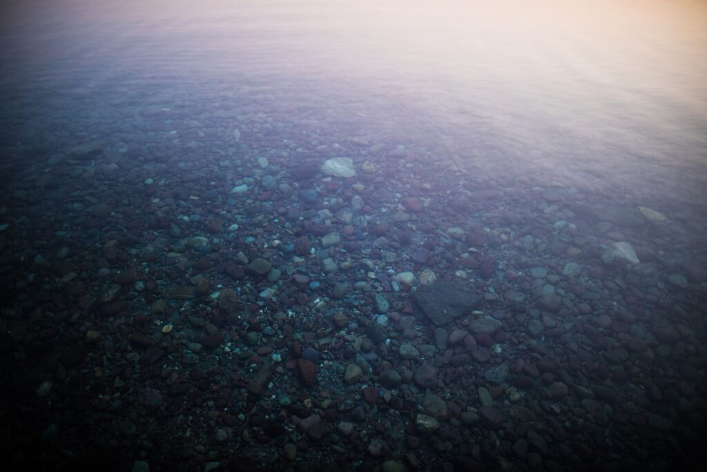
The road starts along Lake McDonald, the park's biggest lake. Stop at Apgar, at the foot of the lake, for the view up the valley and the red, green, and blue stones in the shallows, which show up best on a calm morning. Lake McDonald Lodge, about 10 miles up the shore, is worth a walk through even if you aren't staying there.
Trail of the Cedars and Avalanche Lake
Trail of the Cedars is a flat, wheelchair-accessible loop through old cedars and hemlocks, with a gorge at the far end. From it, the trail to Avalanche Lake climbs about 500 feet over 2.3 miles to a lake under a wall of waterfalls. It's one of the most popular hikes in the park, so get there early. This is the last stop before the vehicle size limits begin.
The Loop
The Loop is the road's one big hairpin turn, and it's where the climb to Logan Pass gets serious. The parking area is also the bottom of the Granite Park trail, which is where hikers come out after walking the Highline Trail from Logan Pass.
Bird Woman Falls and the Weeping Wall
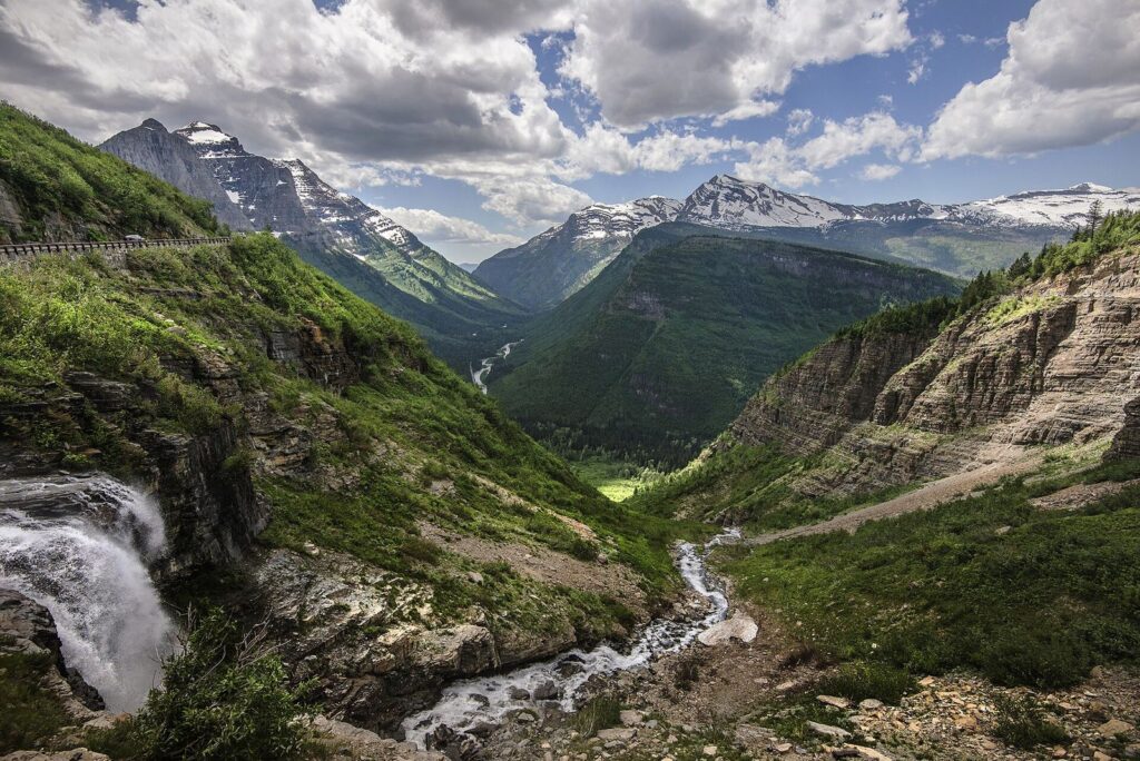
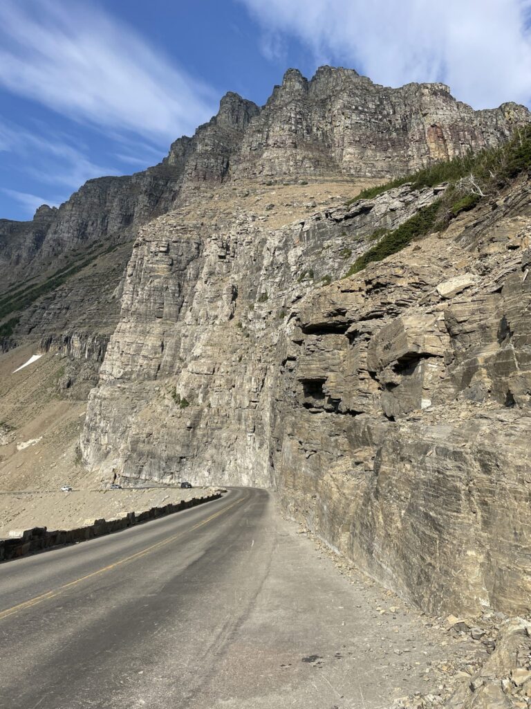
Above The Loop, the road runs along the Garden Wall, and you'll see Bird Woman Falls across the valley. A little higher, the Weeping Wall drips and pours water straight onto the road, especially early in summer. Pullouts are small and fill fast, so take the one you get.
Logan Pass
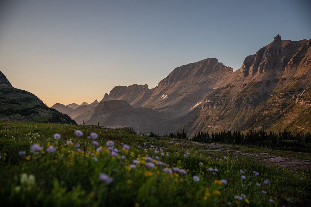
Logan Pass is the high point and the Continental Divide. Behind the visitor center, a boardwalk and trail lead 2.6 miles round trip, with about 600 feet of climbing, to Hidden Lake Overlook, through meadows where mountain goats often walk right onto the trail. The Highline Trail starts across the road and runs 7.6 miles to Granite Park Chalet with about 800 feet of gain. It starts on a narrow ledge cut into the cliff above the road, with a cable to hold. It's colder and windier at the pass than down at the lakes, so bring a jacket in July.
Jackson Glacier Overlook
Heading down the east side, this pullout is one of the few places you can see a glacier from the road. It's small and far off, so bring binoculars.
St. Mary Falls and Virginia Falls
A short trail from the St. Mary Falls trailhead drops to a turquoise falls and continues uphill to Virginia Falls. It's a good leg-stretch with kids, and it's less crowded than Avalanche Lake.
Wild Goose Island Overlook
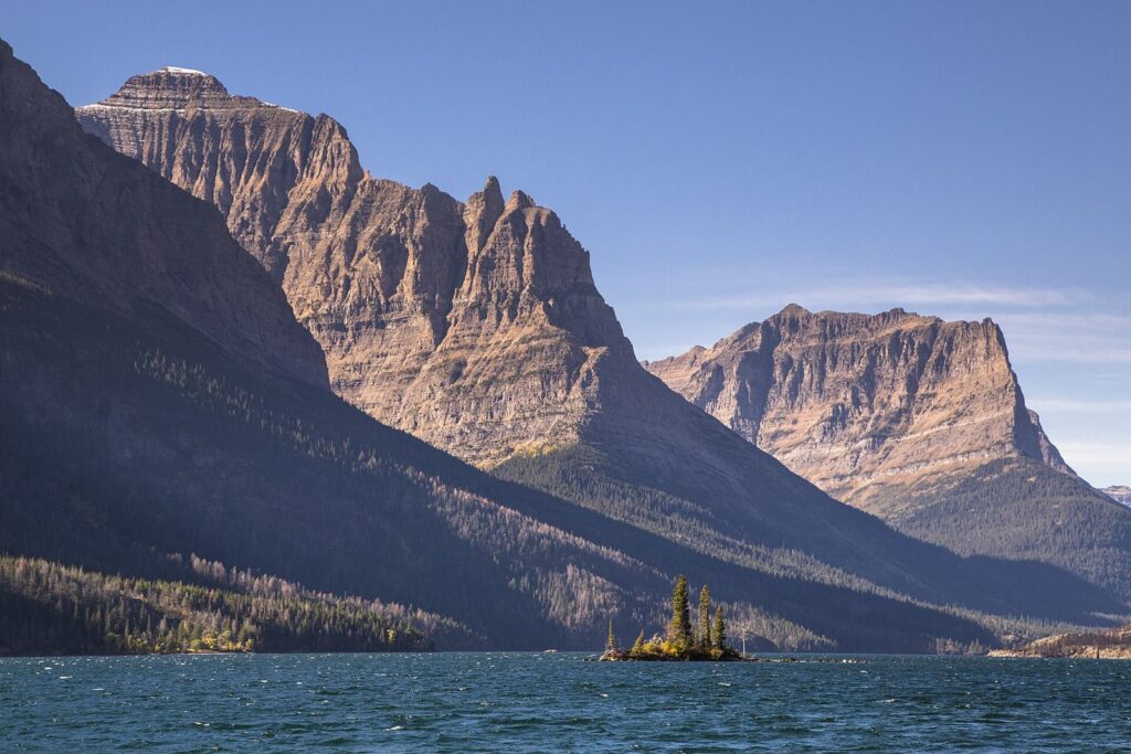
This is the view of St. Mary Lake with a tiny island in the middle that ends up on half the postcards in Montana. It's right off the road, and it's best early in the morning when the water is still and the light comes from behind you.
Rising Sun and St. Mary
Rising Sun has a picnic area, a motor inn, a boat dock, and a shuttle stop. A few miles on, the road ends at the St. Mary Entrance. From here, Many Glacier is 20 miles north, about 40 minutes.
Which Direction Should You Drive It?
It depends on where you're sleeping. If you're on the west side, start early and drive east, so you reach Logan Pass before the lot fills, then come back over in the late afternoon. If you're in St. Mary or Many Glacier, do the reverse and catch Wild Goose Island on your way out in the morning.
If drop-offs make you nervous, drive it eastbound on the west side of the pass. Heading up from The Loop toward Logan Pass, you're in the lane against the mountain, and the oncoming traffic is on the outside edge. The road is narrow, with a low stone wall and not much else, and some drivers find the westbound descent harder.
Don't Want to Drive? Take a Red Bus
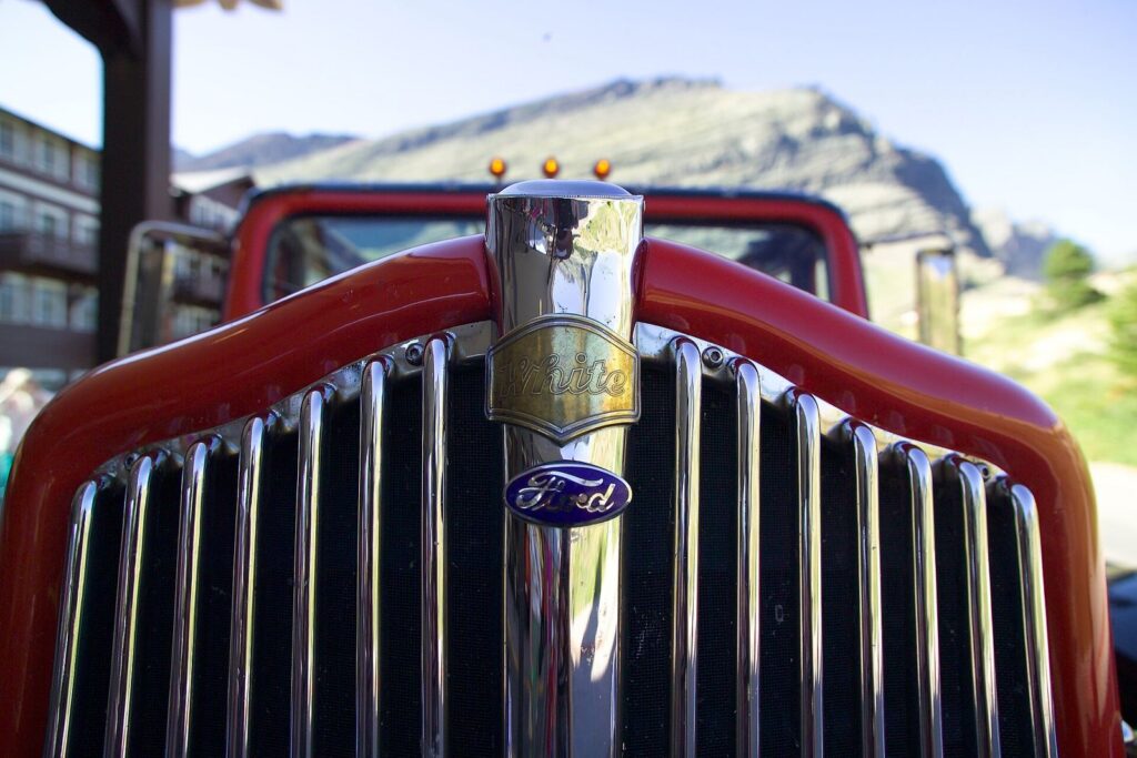
Glacier's red buses date to the late 1930s and still run narrated tours over the road with the canvas tops rolled back. The drivers know the stops and you get to look up instead of at the center line. Book through Glacier National Park Lodges, and do it early, since summer tours sell out.
Tips Before You Go
- Fill your tank first. There are no gas stations inside Glacier. Fill up in West Glacier, St. Mary, or before you leave town.
- Save your tickets offline. Cell service on the road is unreliable, so screenshot or print shuttle and tour tickets.
- Pack for the pass. Logan Pass is much colder and windier than the valleys, and weather can close it with little warning.
- Carry bear spray on the trails and hike in groups. This is grizzly country.
- Check the cameras. Our Montana webcams page links to Glacier's live cameras.
- Bikes have rules too. Cyclists face time-of-day restrictions on busy sections in summer, so check the park's current rules before you ride.
Where you stay shapes how easy this road is. Our guide to where to stay near Glacier National Park compares the west and east sides, and our 3-day Glacier itinerary builds a whole trip around the road. For everything else in the park, see our guide to the best things to do in Glacier.
Frequently Asked Questions
How long does it take to drive Going-to-the-Sun Road?
The Park Service estimates two hours for the 50 miles without stops. With stops and a short hike, plan on a full day, and add time for traffic around Logan Pass in midsummer.
Do you need a reservation for Going-to-the-Sun Road in 2026?
No. Vehicle reservations were dropped for 2026. You need a park pass, and the Logan Pass shuttle requires a $1 ticket from Recreation.gov.
When does Going-to-the-Sun Road open and close?
The full road usually opens in late June or early July; in 2026 it opened June 22. The alpine section typically closes around the third Monday in October, or earlier if snow arrives.
Can you drive an RV on Going-to-the-Sun Road?
Only a small one. Between Avalanche Creek and Rising Sun, vehicles longer than 21 feet or wider than 8 feet, mirrors included, are prohibited, and anything over 10 feet tall can have trouble with rock overhangs.
Is Going-to-the-Sun Road scary to drive?
It's narrow, with steep drop-offs and a low stone wall, but it's paved and slow. If heights bother you, drive the west side eastbound, uphill toward Logan Pass, which keeps you in the lane against the mountain, or take a red bus tour. My wife to this day can't do it. Be sensitive to those who can't. The good news is there is enough below it to satisfy if you cannot stomach the heights.